|
Copy of an e-mail sent
to
Jerry
& Joey
Hi
Jerry &
Joey
You
have a great trip coming up to one of our
favorites places. Here is my take on neat
sights
along the way to Monument Valley, Mesa Verde NP and other
parks that we have visited and enjoyed. You can see the
Four Corners sites in
any order, not necessarily the way I have them arranged from southwest
to
northeast. Or you can pick
and
choose.
I would suggest taking a pair of binoculars to view wild game like Pronghorns, birds of pray and such. And for any senior, if you don't have a Golden Age Passport for natonal parks, you should have one -- it's only $10 and it's good for life.
I don't claim to know everything about all these areas but we have been thru this part of the country a few times and have stopped frequently whenever there was anything to see or do along the road. Some routes like Hwy 60 out of Phoenix, I have been taking in different seasons since the '60s and and still enjoy the views and the people. Have a safe and wonderful journey to Four Corners, a land of awesome beauty.
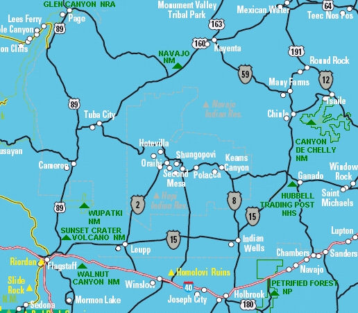
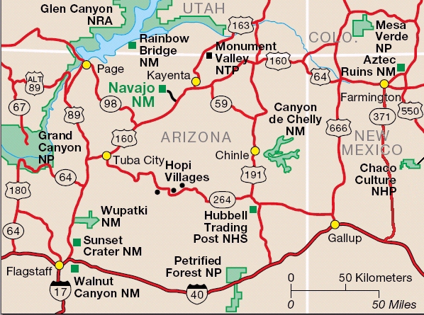
Phoenix
to Petrified Forest Nat'l Park Highways 60, 77 and 180
Starting The Tour Petrified
Forest NP Photo
Tour Time Chart
Paleo-Puebloan Chart
Park Map
AAA folded maps are good and they
include
primary and secondary roads and
covers a large area. For greater
detail like for jeep-trails to old mining camps, we use DeLorme's Atlas &
Gazetteer Series, one for each state. Our Garmin GPS
works well even on
backcountry dirt roads. It's a good combination for us. If you want to
use your laptop, National
Geographic puts out a nice topographic map set with 3-D views and is
Bluetooth/GPS capable.
.
Some of what
we
saw on the way to Petrified NP
|
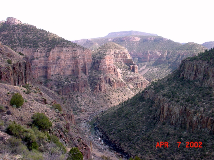
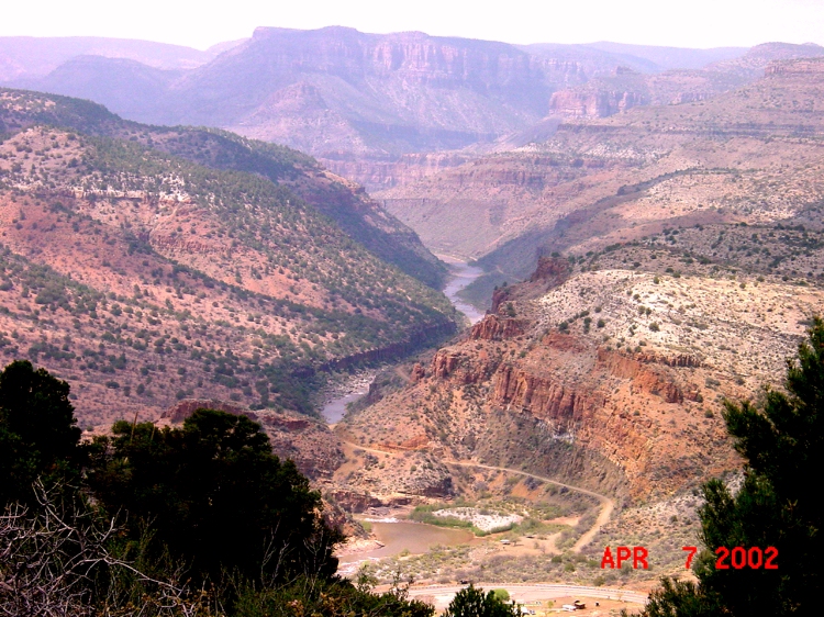
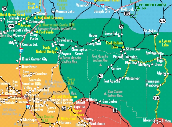
Salt
River
Canyon -- looking southwest
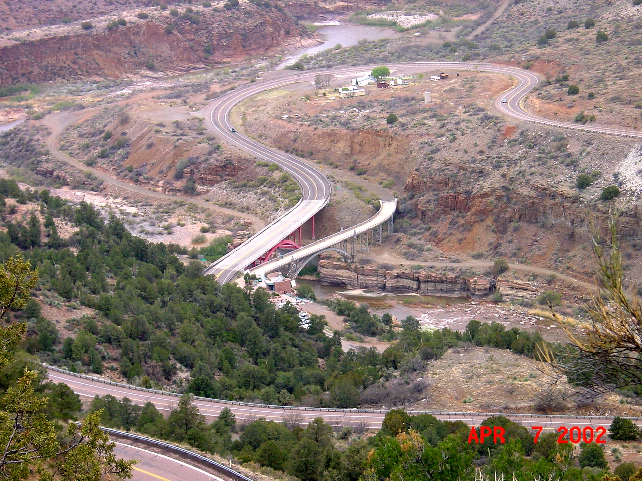
The
road
winds down to the Salt River
(with new and old bridges)
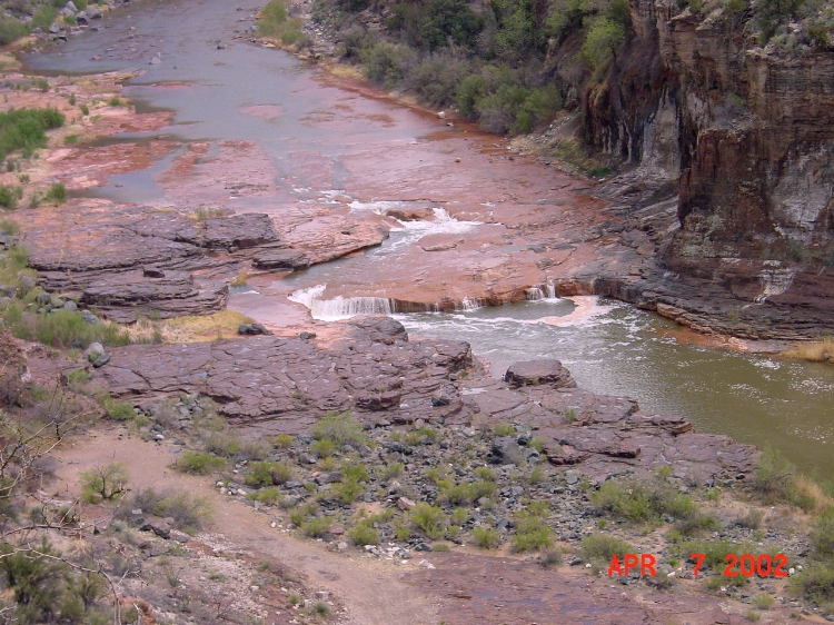
Salt
River
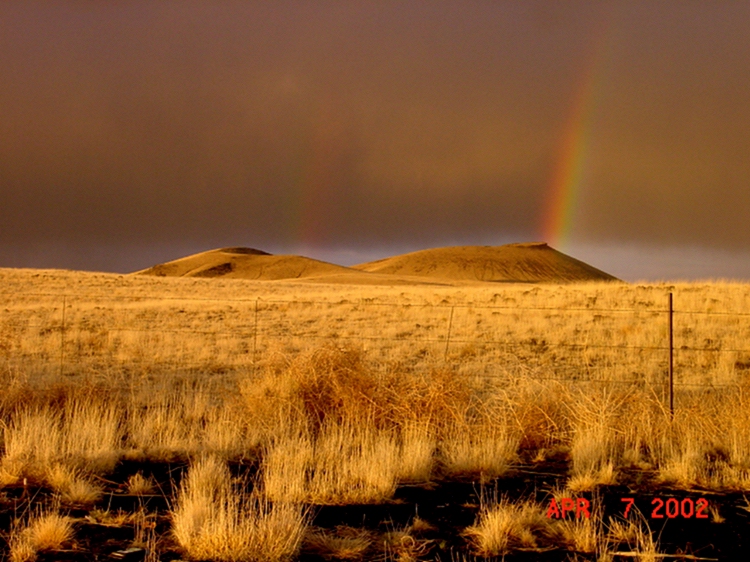
Volcanic
cinder cones west of
Springerville
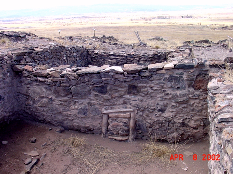
Casa
Malpais, AD 1268-1400, Mogollon ruins
west of Springerville
See Springerville Visitor Center
for entry
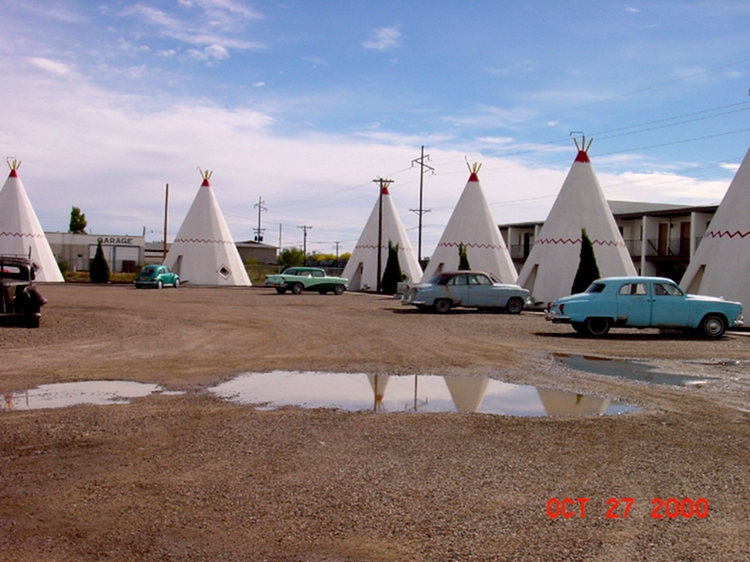
Wigwam
Motel in Holbrook -- Route 66 classic with wonderful old cars
A
bad Japanese imitation of the "Cowboy
Silhouette" at Petrified
Forest
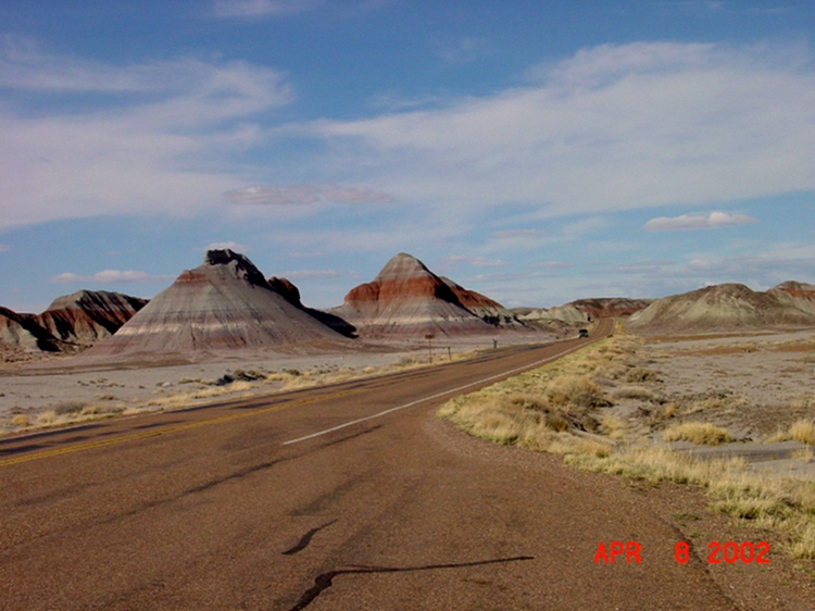
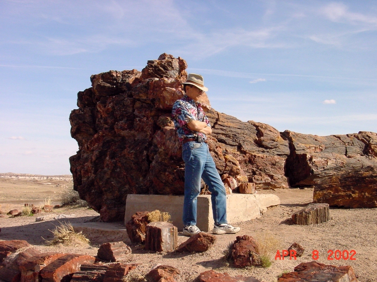
Petrified
Forest